


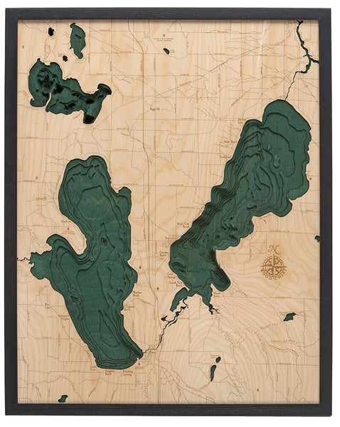


WoodChart's beautiful map of Burt Lake and Mullet Lake. A 3-D nautical wood map featuring Northern Michigan's premier fishing lakes of Burt and Mullet.
Both Burt and Mullett lakes are part of the Inland Waterway - a 38 mile stretch of lakes and rivers connecting Little Traverse Bay in Lake Michigan with Cheboygan on Lake Huron. The lakes were named after two federal surveyors - John Mullett and William A. Burt, who surveyed the area together from 1840 to 1843.
Points of Interest Include:
Cheboygan River, Chippewa Beach, Indian River, Kingsley Beach, and Royal Oak Beach
Our wood charts are made from Baltic birch and have a solid wood frame. They come ready to hang and we will provide free shipping within the continental United States.